


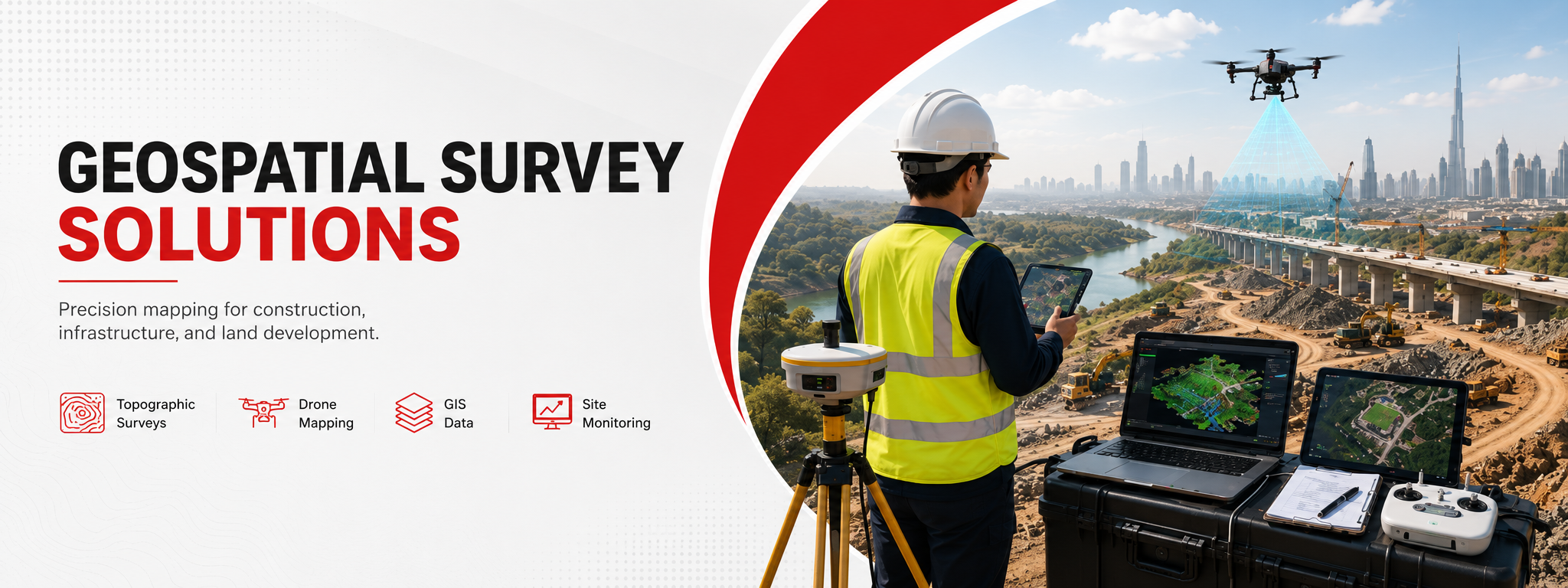


The Best Land Survey Engineering Company in Dubai, UAE
We are a leading land survey engineering company in Dubai, UAE. Our surveyors are well trained and well qualified, providing accurate land survey engineering services across the Emirates. We provide the following land survey services:
A Growing Land Survey Company in the UAE
The Arabian Surveying Engineering LLC is one of the best and fast-growing land survey companies in the UAE.
Since the start of the company, our aim has been to bring the best service in the country in the field of Land Survey Engineering. Our motive is simple — to gain the trust of the client through excellent service. Our surveyors are well equipped with the best technologies.
Arabian Survey surveyors provide services with innovation, quality, and professionalism in land surveying. We have proven ourselves in land survey mapping, GIS services, topographical surveying, bathymetry surveying, and engineering surveying.
Our vision guides every aspect of our business by defining what we need to accomplish to continue achieving sustainable and quality growth. We are determined to be the preferred Surveying and Survey Consultancy service provider in the United Arab Emirates — delivering excellent service to our clients on time and on budget.
- Land Survey Mapping
- GIS Services
- Topographical Surveying
- Bathymetry Surveying
- Engineering Surveying
Our Business Statistics
Why We Are the Best Land Survey Company in Dubai
In any company, management and staff represent the company. Our management and staff are well trained and professional in the field of land survey in Dubai, UAE.
Arabian Survey management and staff represent a resourceful group of professional engineers. In survey engineering, they hold extensive experience in the UAE and foreign countries.
The company is fully capable of undertaking projects across the United Arab Emirates independently or in collaboration with any other independent group of Consultants, Architects, or Promoters. If you want our services — approach us.
Built on Trust, Driven by Quality
Honesty, Integrity & Trust
This is integral to every practice and decision in the business. Our reputation depends on it.
Client Orientation
Developing great relationships with our clients is key to our success. We work closely with our clients so we can fully understand and respond to their individual needs.
Innovation
Our innovation is what sets us apart — whether we are offering a unique product or challenging our methodology to become more effective.
Quality
We are committed to quality at every level of the business. There is no compromise on this, and we continually invest in technology, staff development, and health and safety to ensure the highest standard of service.
Professional Approach
We operate worldwide, and our access to skilled and specialist resources allows us to respond effectively no matter the size of the project or how challenging it may be.
On Time, On Budget
Our team thrives on delivering excellent service to our clients on time and on budget — every project, every deadline.
Services
Land & Engineering Surveys
- Topographic Surveys
- Existing Buildings & Structures
- Ground Surfaces
- Oil & Gas Field
- MEP Detail Survey for Buildings
Building Construction Surveys
- Setting Out Survey
- Vertical & lateral monitoring of high-rise construction
- Horizontal & vertical alignment fixing for aluminium cladding works
Infrastructure Construction Surveys
- Setting out of road lines, rail lines & utility services
- Right-of-Way
- Underground Utilities Survey
- Ground Penetrating Radar (GPR)
GIS Surveys
- Ground Penetrating Radar
- Electromagnetic Survey
Hiring of Survey Crews
- Daily, monthly & yearly crew contracts
- Surveyors with or without instruments
- Embedded on your site, working as your team
Global Positioning System (GPS)
GPS is the method used for land surveying in which the equipment for all major services offered is the Global Positioning System — an all-weather, radio-based, satellite navigation system that enables users to accurately determine three-dimensional position.
The GPS's primary mission is to provide passive global positioning and navigation for land, air, and sea. The GPS receiver measures distances between satellites and itself to determine the receiver's position from intersections of multiple range vectors. Distances are determined by accurately measuring the time a signal pulse takes to travel from satellite to receiver.
Ready to get started? Let's talk.
If you are in need of a residential land survey, commercial land survey, or telecommunication land survey — Arabian Survey is the land surveying firm in Dubai, UAE for your project.
Officially Approved Quality Management
Our Survey Engineering company is officially approved by a Quality Management System, assessed and registered by Veritas Assurance International.
Arabian Group of Companies
- Arabian Survey Engineering L.L.C
- Arabian Survey Engineering L.L.C-FZ
- New Arabian Passengers Transport by Rented Buses L.L.C
- SmartDrive Passengers Transport by Rented Business Co. L.L.C
Arabian Survey Engineering LLC — Ras Al Khaimah, United Arab Emirates
What Our Clients Say?
Arabian Survey handled the setting out and monitoring for our high-rise project in Business Bay. Their surveyors were on site every single day, and the data accuracy saved us from costly rework. A highly professional team.
We engaged Arabian Survey for a topographic survey of a large plot in Ras Al Khaimah. The drawings were delivered ahead of schedule and the level of detail was exactly what our design team needed. Clear communication from day one.
Their GPR and underground utilities survey helped us avoid a major clash with existing services on our road project. The team clearly knows infrastructure work inside out. We now use Arabian Survey on every package.
Fast, accurate and very reasonably priced. The earthwork volume calculations they provided matched our contractor's figures perfectly, which made certifying payments straightforward. A dependable survey partner in the UAE.
We needed control points established by GPS RTK across a remote oil & gas site. Arabian Survey mobilised within 48 hours and the results were verified without a single discrepancy. Impressive equipment and even better people.
From the first call to the final report, everything was handled professionally. Their MEP detail survey of our existing building gave us a complete picture for the renovation. We would recommend them to anyone in the UAE.
Vertical and lateral monitoring on our tower was critical, and their reporting was consistent, on time and easy for our consultants to review. In three years of working together they have never missed a deadline.
One of the most precise engineering survey companies we have worked with. Their team supported our mobility and transport projects with reliable data every time, and their turnaround is the fastest we have seen in the market.